
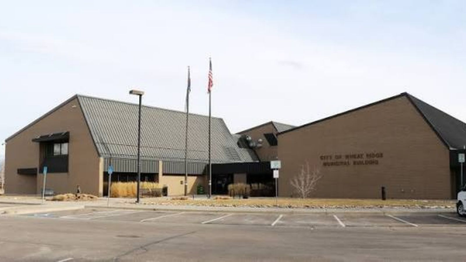
Wheat Ridge, the Carnation City
Wheat Ridge began as a rest stop for gold rush travelers in the late 1850s and grew into Colorado's Carnation City. In the 1960s about 32 carnation farms dotted the city and produced roughly 40 million blooms a year. The city incorporated in 1969, after annexation pressure from its neighbors.
That farming and early suburban history shows up in the plumbing we run into. A city that formed before modern subdivision planning has a real mix of housing ages, often on the same block, and many older homes have decades-old service lines and sewer laterals that have never been inspected.
West 38th Avenue, Anderson Park, and the Blocks Around Them
The blocks around West 38th Avenue, the city's de facto main street now branded the Ridge at 38, and the historic area near Wheat Ridge Historic Park hold the oldest homes we see here. Anderson Park, where the annual Carnation Festival is held, and the Wheat Ridge Greenbelt and Prospect Park anchor the quieter residential streets nearby.
The city's southern and eastern edges blend into Lakewood, Edgewater, Mountain View, and Denver without a hard line, and the northern edge meets Arvada. A Wheat Ridge ZIP code can sit in a neighboring jurisdiction, so we confirm the exact city and utility before we quote any job that needs a permit.
Several Water Providers, Older Sewer Laterals
Water service here is split among several providers rather than one city utility. Wheat Ridge Water District and Consolidated Mutual Water Company both serve parts of the area, along with others, so the meter and shutoff rules depend on the block. We find out which provider serves the address before anything is dug.
Older homes in this part of Jefferson County are more likely to have galvanized supply lines and clay or cast iron sewer laterals. We camera-inspect before recommending a sewer repair, because a lateral that has served a house for decades usually fails from root intrusion at a joint, not along its whole length.
Clear Creek, Groundwater, and Winter
Clear Creek runs through the west-central part of the city, with West Lake, Tabor Lake, and Prospect Lake along its course. Homes near the creek corridor can see high groundwater during spring runoff, so a sump pump and drainage check before the thaw is a sensible habit.
Wheat Ridge sits at the junction of Interstate 70 and Colorado Highway 391, which keeps dispatch from our side of the metro predictable even in winter traffic. Freeze-thaw cycles follow the same Front Range pattern as the rest of our territory, so burst pipe calls climb after every hard cold snap.
Why Wheat Ridge Is on Our Regular Route
Wheat Ridge is roughly a quarter hour from our Westminster base by our estimate, by way of Wadsworth Boulevard or Kipling Street. That puts it well inside the area where we can promise real emergency dispatch instead of a long, uncertain wait.
Edgewater, Lakeside, Mountain View, and Applewood are small neighbors that fold into the same coverage. That is why we cover them from this page and do not give each one a thin page of its own.
Wheat Ridge has its own building permit process, and any replacement or repipe we do inside city limits is completed to the Colorado Plumbing Code (IPC) and inspected before the walls are closed.
Wheat Ridge ZIP Codes We Cover
We dispatch across every Wheat Ridge ZIP code, including 80033, 80212, 80214, 80215, and pair that coverage with the specific service Wheat Ridge calls for most: Sewer Camera Inspection.
Emergency dispatch reaches all of these around the clock, plus the 80002 corridor just over the Wheat Ridge line, since our coverage doesn't stop sharply at a city boundary. If you're in 80033 or 80215 and not sure whether we cover your block, call (303) 552-3896 and we'll confirm on the spot.